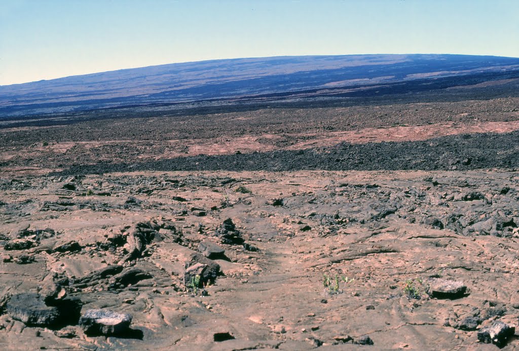
Photo © Jim Nieland. Please credit the author when using.
⬇️ Free download photoMauna Loa summit in distance from the NE rift zone trail. The hike is 18 miles one way between the end of Mauna Loa Road…
Rate this photo
Jim Nieland
Originally published on Panoramio, January 2012
Location
Salitrillo, Mexico
📍 View on OpenStreetMapCheck where your own photo was taken → Photo Location Finder
More from Salitrillo
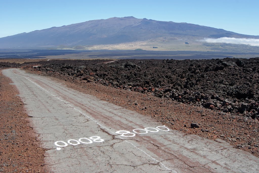
Photo of Salitrillo, Mexico
By mattodot
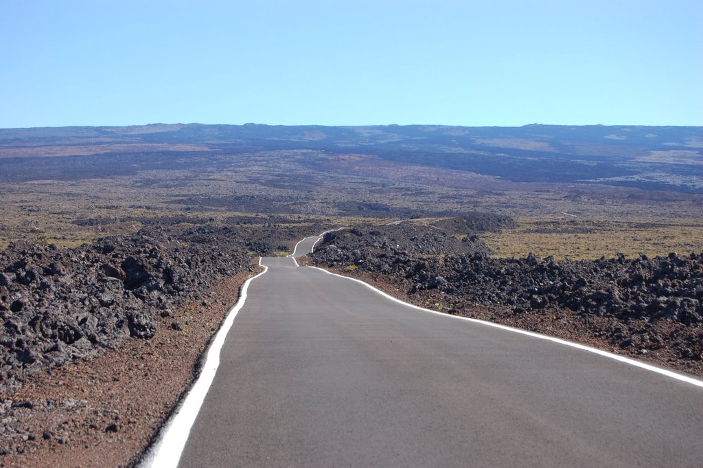
Mauna Loa Access Road
By andy_kir
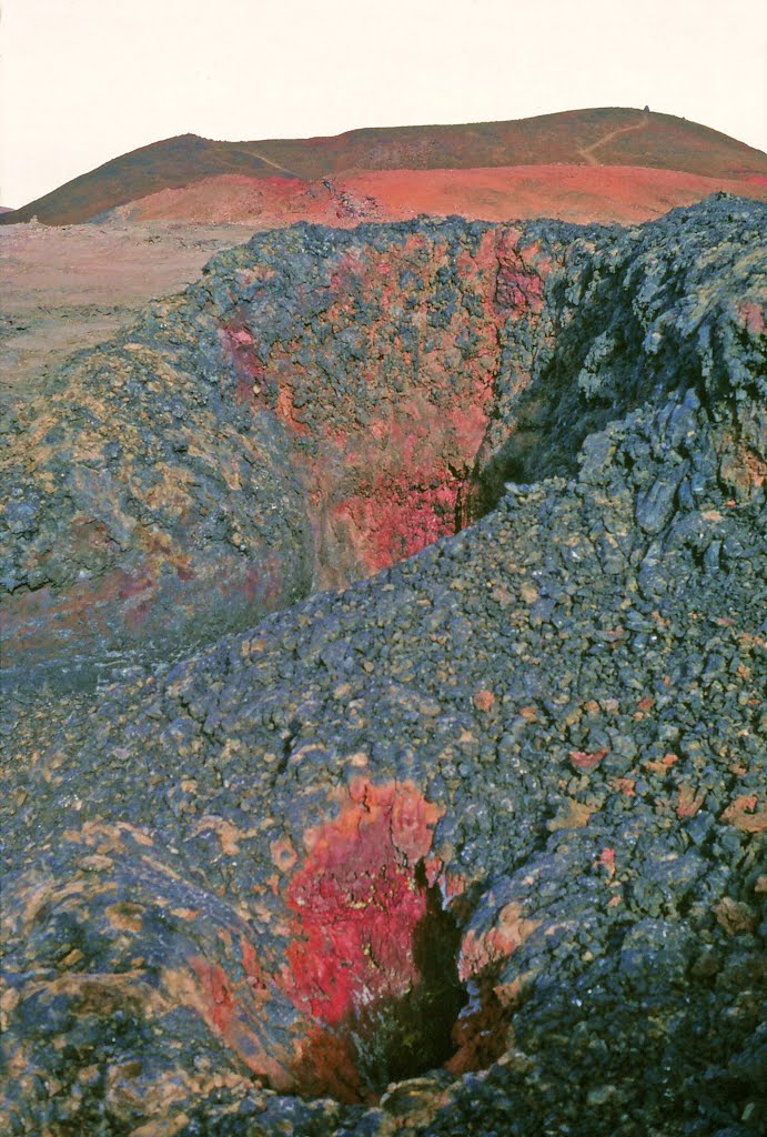
One of many open vents along t...
By Jim Nieland
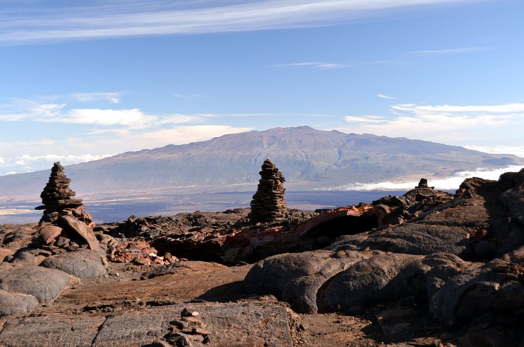
2011-10-07 Cairns of Mauna Loa...
By Andrew Stehlik
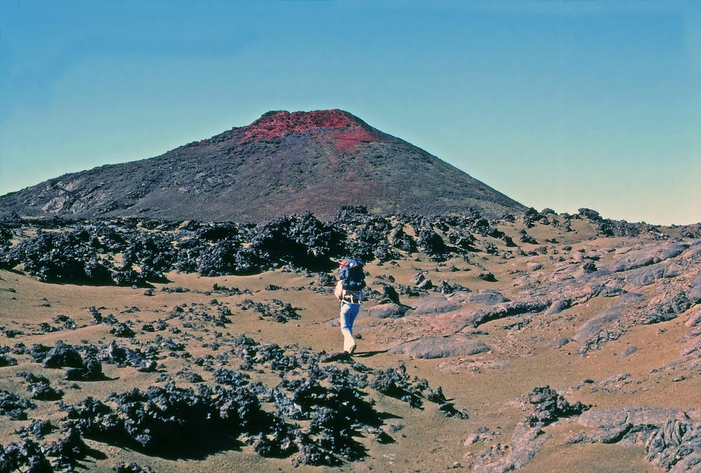
Mauna Loa Trail, one of the fe...
By Jim Nieland
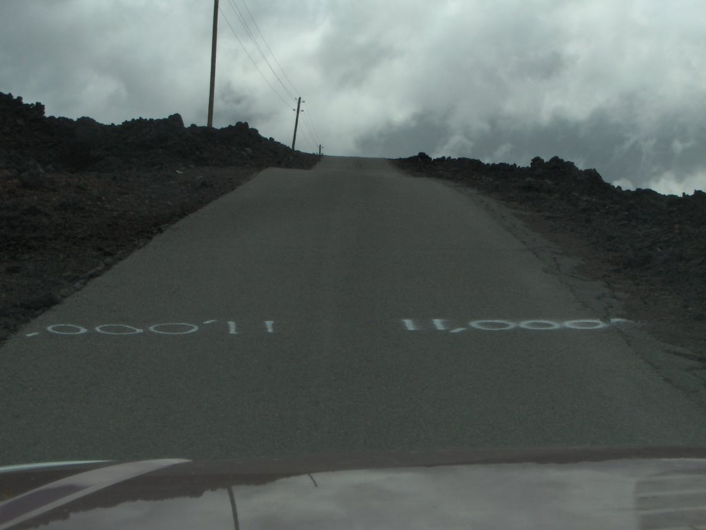
Road to Mauna Loa Observatory...
By deanstucker
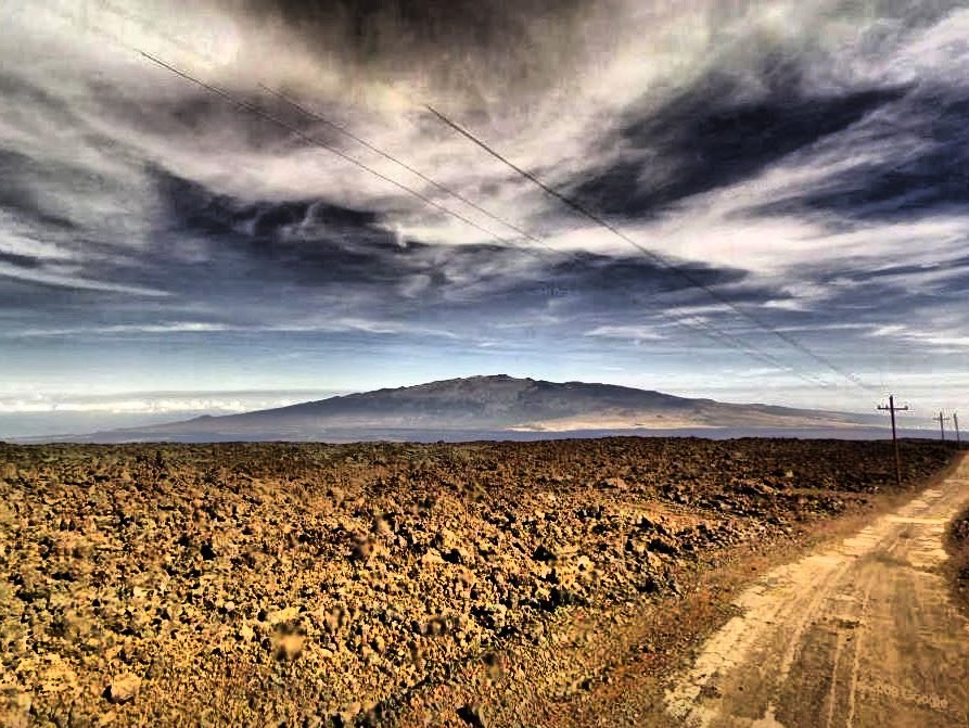
Mauna Loa Forest Reservation,...
By GoogleStreetViewHDR
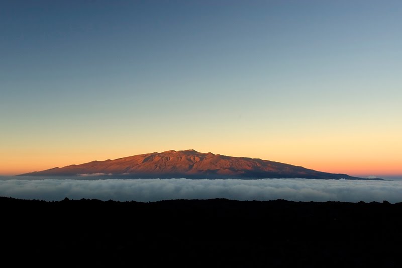
Mauna Kea
By Roland Roesler
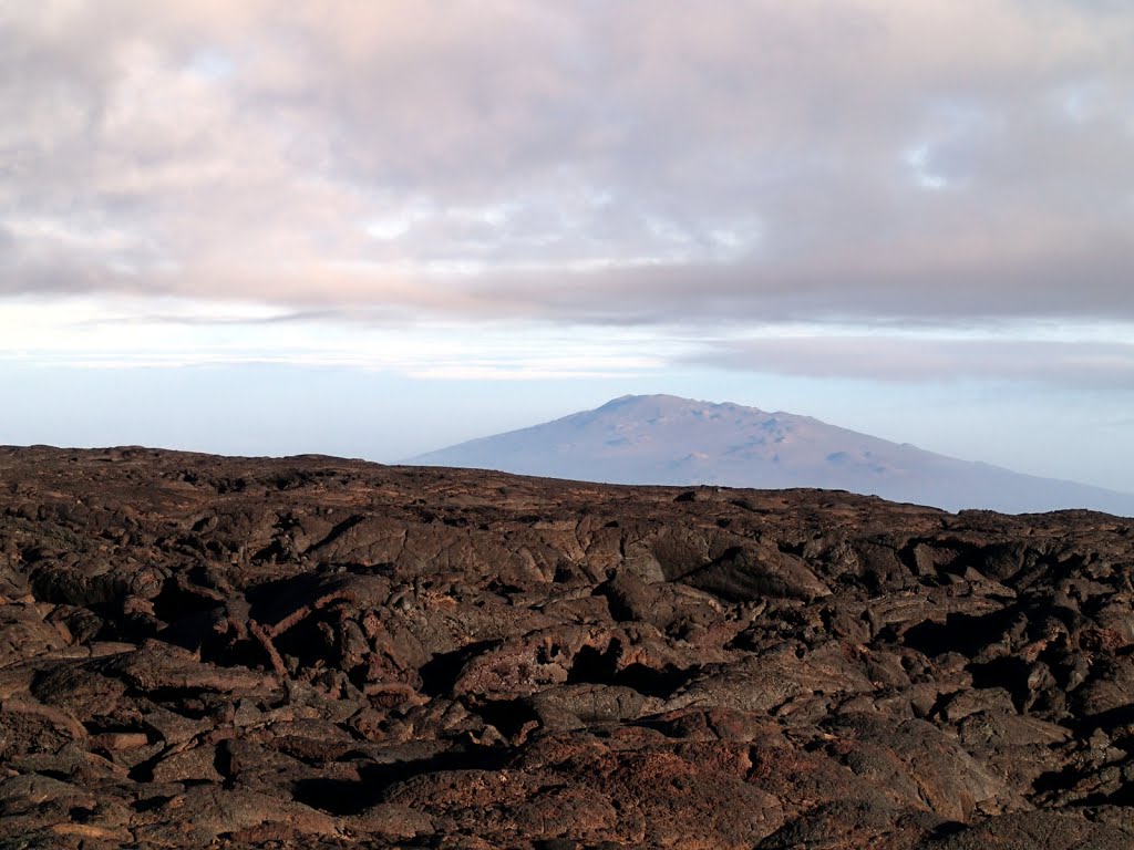
2013-05-06 Hualalai volcano fr...
By Andrew Stehlik
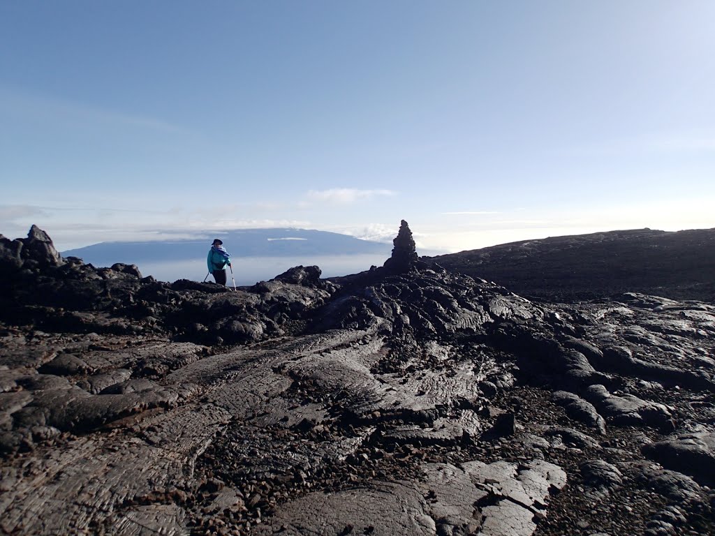
2013-05-06 and up and up we we...
By Andrew Stehlik