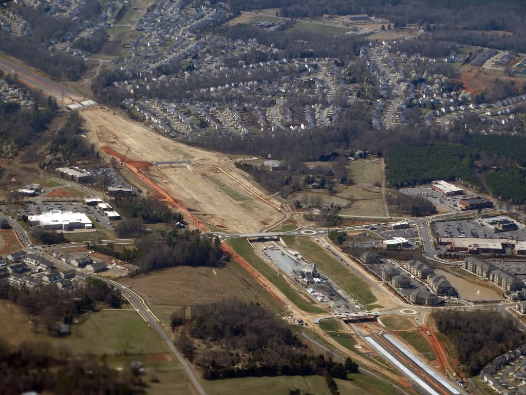
Photo © John Hains. Please credit the author when using.
⬇️ Free download photoLocation
Charlotte, United States
📍 View on OpenStreetMapCheck where your own photo was taken → Photo Location Finder
More from Charlotte
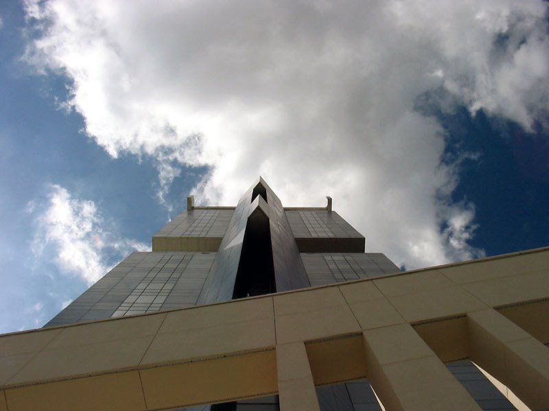
Westin Hotel from train tracks
By ezcheese

PANTHERS STADIUM
By vanjohnson
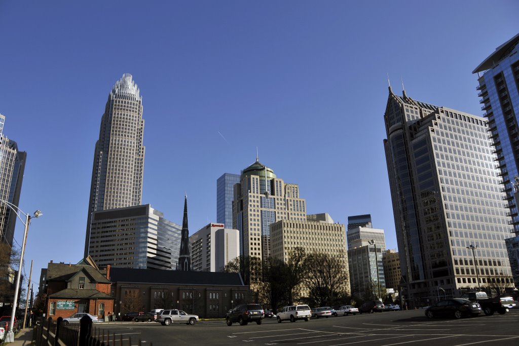
Charlotte downtown
By Carlos F.
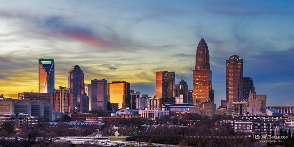
Charlotte, NC: 12/19/12, 6:24...
By Kevin Childress

KNIGHT THEATRE
By vanjohnson

CHARLOTTE
By vanjohnson
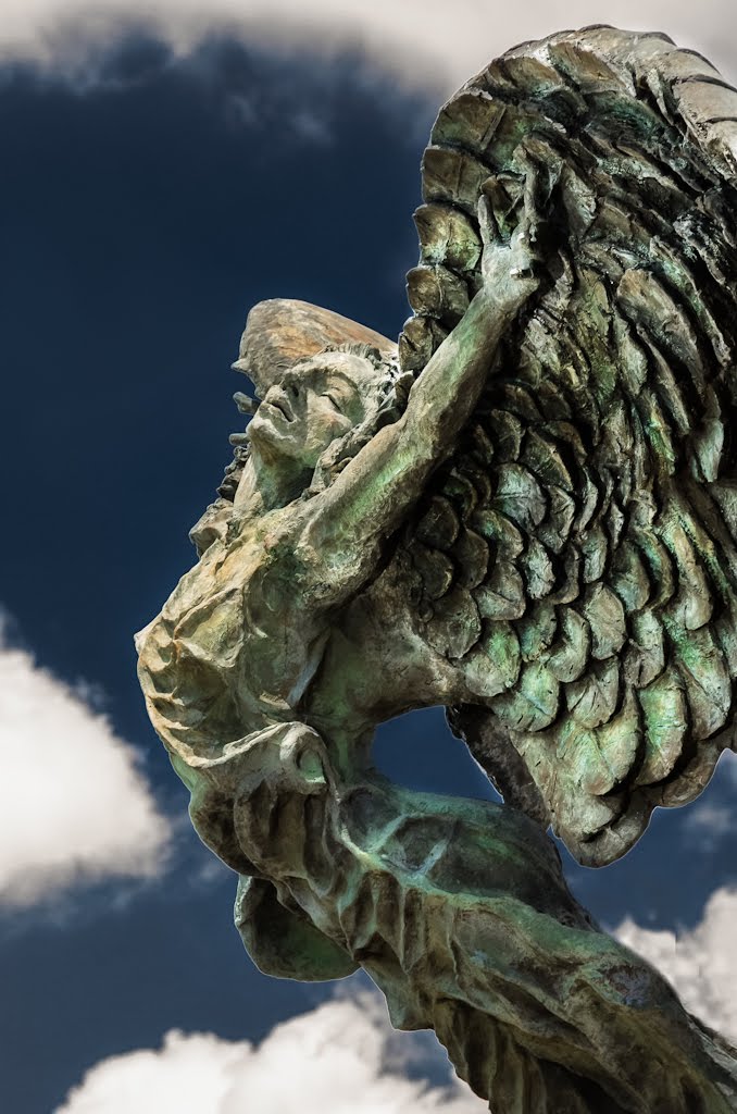
Aspire
By Kevin Childress

CARSON STATION
By vanjohnson
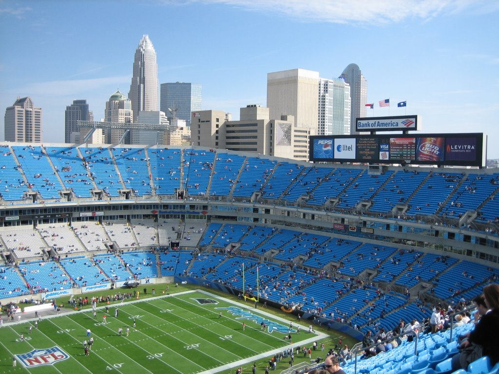
Panties Stadium
By Scott Beuse
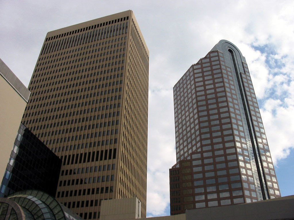
Wachovia Buildings
By ezcheese